GIS.FCU Overview

The Largest Professional Research Organization of GIS in Taiwan

0 +
Professional Employees
0 +
Projects
0 +
Partners

The Pioneer of
Geo-Sciences

The Open Geospatial Consortium (OGC) is an important organization for the development of spatial information standards in the world. Since 2008, GIS.FCU has participated in the development of standards and cooperation plans with major global organizations such as NASA, Google, and ESRI as a Principal member, and the establishment of OGC Asia Forum (OGC Asia Forum) to lead the Asian standards conference, to promote the development and application of space information.

GIS.FCU actively participates in international organizations, cooperation plans and regular exchanges with academic research institutions and enterprises in China, Japan, Vietnam, Thailand, Europe and the United States. In addition, GIS.FCU is committed to global development, grasping forward-looking technology trends, promoting industrial integration and enhancing Taiwan’s international visibility.

The Pioneer Of Geo-Sciences

Professional leading technology,
opening a new era of spatial information

At the beginning of spatial information technology, GIS.FCU laid the foundation for development through basic data construction and integrated planning analysis, gradually expand the application of spatial information to more fields, and independently develop related technology products, such as EasyMap platform, UAVs, mobile monitoring station, fleets monitoring, intelligent management platform, etc., draw a new direction for the application of space information.

With the evolution of technology and entry the era of multi-disciplinary and cross-disciplinary integration. GIS.FCU, which has been deeply involved in the field of spatial information for nearly 30 years, now provides a full range of information solutions with four core technologies and five service applications, and create unlimited possibilities for spatial information applications by integrating experts across fields!

Asia's first, the development of spatial information standards

The Open Geospatial Consortium (OGC) is an important organization for the development of spatial information standards in the world. Since 2008, GIS.FCU has participated in the development of standards and cooperation plans with major global organizations such as NASA, Google, and ESRI as a Principal member, and the establishment of OGC Asia Forum (OGC Asia Forum) to lead the Asian standards conference, to promote the development and application of space information.

GIS.FCU actively participates in international organizations, cooperation plans and regular exchanges with academic research institutions and enterprises in China, Japan, Vietnam, Thailand, Europe and the United States. In addition, GIS.FCU is committed to global development, grasping forward-looking technology trends, promoting industrial integration and enhancing Taiwan’s international visibility.

GISFCU OGC Asia Forum

High-quality Education / Sustainable Talent

GIS.FCU, which burdened the mission of spatial information education, published the first GIS book in 1997, held the first GIS education camp activity in 2002, developed a series of environmental education textbooks in 2005, and established a cross-strait academic exchange and mutual visit mechanism in 2006. Hundreds of masters and doctors have been cultivated, and a family of GIS graduate students has been established, becoming a professional talent pool in the GIS field.

From the cultivation of talents to the promotion of local community education, GIS.FCU develops customized multi-teaching models according to the training objects, integrates environmental care with digital technology, extends teaching energy, and builds a leading brand of spatial information education.

GIS.FCU Related Companies

Skyeyes GPS Technology

SkyEyes GPS Technology Co., Ltd. established in 2008, had once been affiliated with the Geographic Information System Research Center of Feng Chia University. Before the Company’s establishment, FCU had been devoted to research in smart transportation for two decades, including a “SkyEyes System” started in 1997 by incorporating the then cutting-edge Global Positioning System (GPS) technology.

Geosense Digital Technologies

Geosense was founded in December, 2016. Which is business incubators from GIS Research center of Feng Chia University. We supports development of professional service such as GIS(Geographic Information System)、MIS(Management Information System) and application of Open Data.

Focus Intelligence Technology

Focus Intelligence Technology was founded in 2013 and provide solutions of IoT environmental monitoring and integration of information platform. Focus dedicated to providing greater technology, solutions, and do the best to accomplish the target of creating intelligent monitoring network and providing resource management services, contributing to the disaster mitigation and intelligent environmental management in Taiwan.

EasyMap Digital Technology

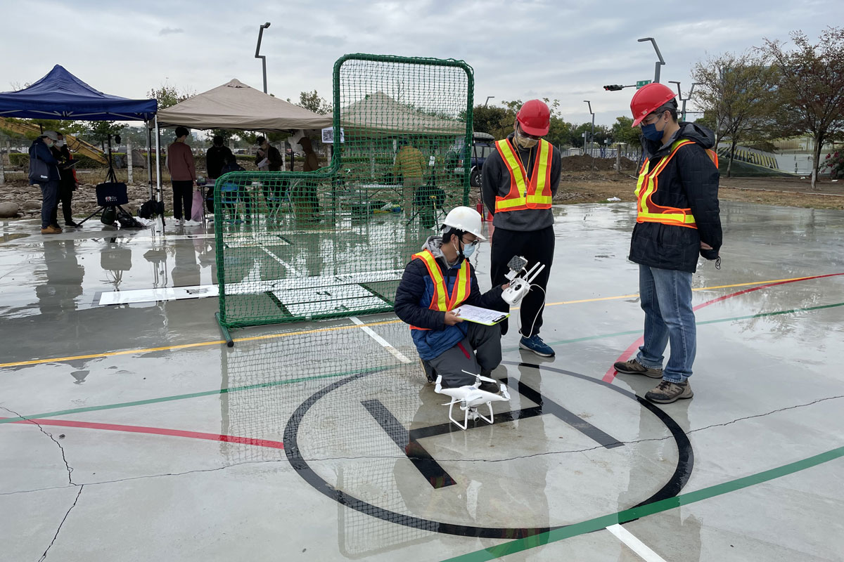
EasyMap Digital Company Ltd. established in October 2003. Spatial information services, UAV applications and integrated digital marketing are the 3 major sectors of the business core. With the strength in GIS development, EasyMap applies research outcomes in spatial analysis to practical applications. It combines with smart technologies to provide all-rounded information services.