GIS.FCU
Services
GIS Group develops GIS diversified platform system with professional technology, combines core technologies such as 3D, AR, VR, Internet of Things, big data integration analysis, international standards, etc. Systematically provide multiple solutions with software and hardware integration, which are applied in smart city, smart IoT, smart management, smart transportation, sustainable environment, etc. With a full range of scientific and technological services, cross-field integration helps to solve environmental problems, and creates a safe, convenient and comfortable smart life. As the pioneer of geo-sciences, adhering to the corporate social responsibility of talent cultivation, focusing on spatial information technology. Develop customized multi-teaching models according to the training objects, and strive to promote spatial information knowledge education.


Core Technology

3DGIS (AR/VR)
Map Core Components | Web GIS Map | Cloud Smart 3D Map | Spatial Analysis Module
We have developed our GIS MAP website by CESIUM®, which is effective and aesthetic. To solve GIS system problem, it support multiple file formats and is cross-platform to suit different kinds of requirement.
Our website also own AR technology to support positioning, browsing and measuring.

AIoT
Build software & hardware | Image recognition | Deep learning | Indoor Positioning | Video streaming
Combining IoT technology with AI artificial intelligence, built from various monitoring equipment, sensors, combined with image streaming, AI image recognition and deep learning, all data is constructed through monitoring, transmission, reception, and application, which can be applied to a variety of fields.

Standard
Open Data | GeoAI | DataCube | SensorThings API | Asia Forum
GIS.FCU is the principal member of OGC (Open Geospatial Consortium), the most important organization in the world to formulate spatial information standards. It participates in the formulation of spatial information standards and sensor data standards, promotes data circulation and sharing, and removes barriers to heterogeneous data integration.

Data Analysis
Engineering Management | Project Management | City Management | Data Management
Analyze a large amount of collected data based on statistics, take inventory of required data, clarify specific solutions, and extract core indicators through exploratory analysis, detect abnormal data or potential problems, and build predictive models through data cleaning and analysis. , To transform data into information, knowledge, and wisdom in a data-scientific way to enhance the value of data.
Services

Smart City
Strategic Planning
Tourism
Smart Service
City Marketing

Smart AIoT
Intelligent Water Information
Slopeland Disaster Prevention
Environmetal Monitroing
Construction Safety
Unmanned Aerial Vehicle

Intelligent Management
Engineering Management
Project Management
City Management
Data Management

Smart Transportation
Driving Attention Assistance
Monitoring Platform
Big Data Analysis Service
APP Management APP

Sustainable Environment
Resource Management
Environmental Management
Renewable Energy
Smart Agriculture
Education

Spatial Information Training– QGIS Lectures / UAV Lectures / High School Courses
Degree Courses-Geospatial Information Master’s and PhD Degree / International Academic Programs / MOOCs Online Course / Smart City Course
Local education promotion– Local community education promotion / GIS competition promotion
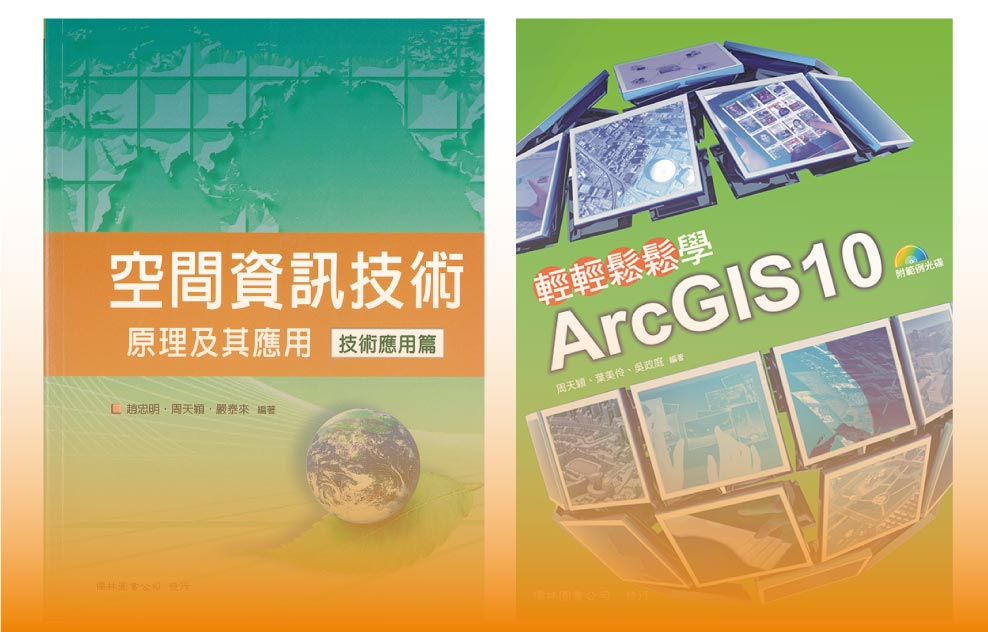
GIS Books– Geospatial Information Books / Software Guide Books / Professional Technical Manual Translation


